Open for business AdamFebruary 26, 2023February 4, 2024Aerial photography, Art and design, community, data collection, data services, data wrangling, fieldwork, good data, illustration, News, open data, open systems, QGIS, Research, training, visualisation
Lidar processing with PDAL, WMTS and geobash AdamMay 30, 2020January 24, 2024Aerial photography, data mining, data services, data wrangling, entwine, foss4g, GDAL, Lidar, Lidar and bathymetry, open data, PDAL
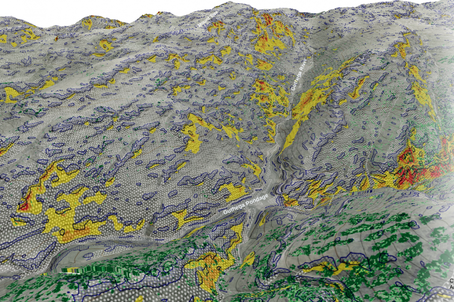
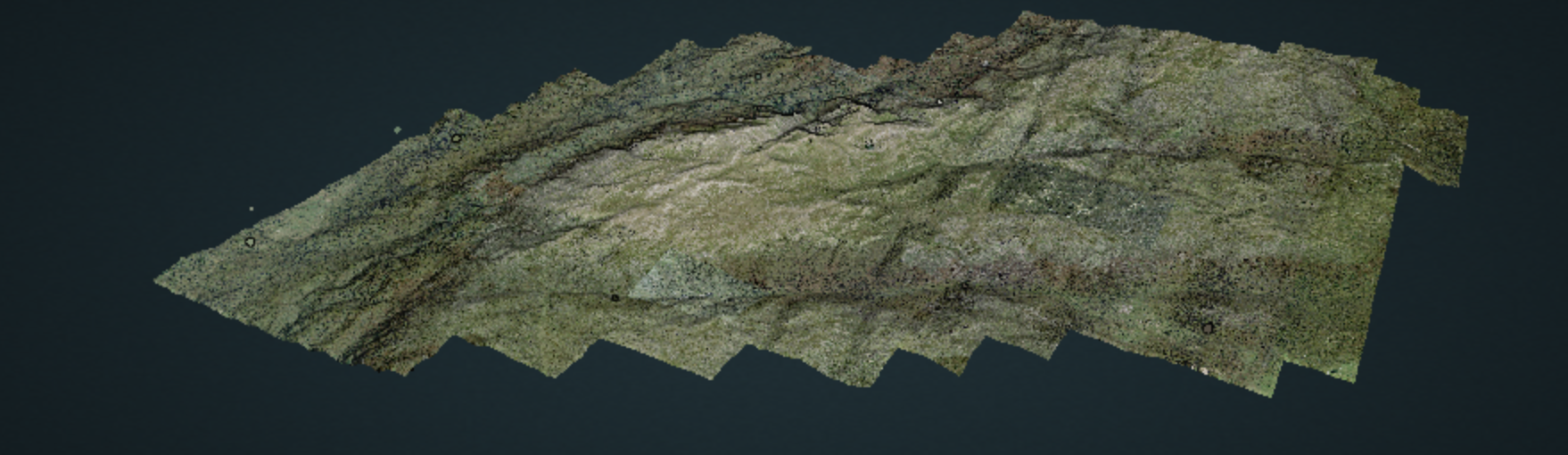
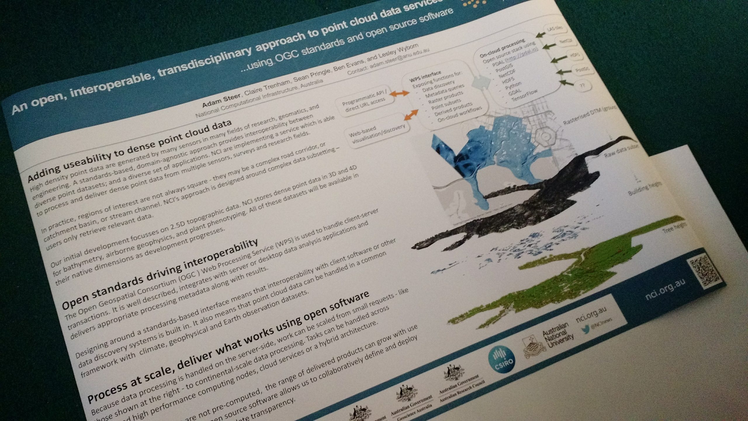
10 000 square kilometres AdamMay 7, 2020February 6, 2024data services, data wrangling, entwine, infrastructure, Lidar, Lidar and bathymetry, open data, OSGeo, PDAL, philosophy, Potree, Research, training, visualisation
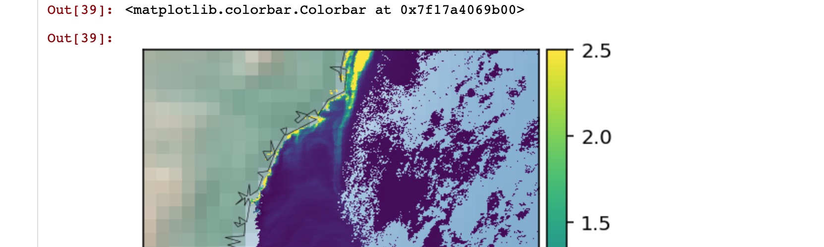
A small hydrographic data QA project AdamApril 3, 2019April 3, 2019Bathymetry, data services, data wrangling, FrontierSI, open systems, PDAL
Web services: NCSS and WCS AdamMarch 6, 2019February 7, 2024data mining, data services, data wrangling, Spatial data science, training
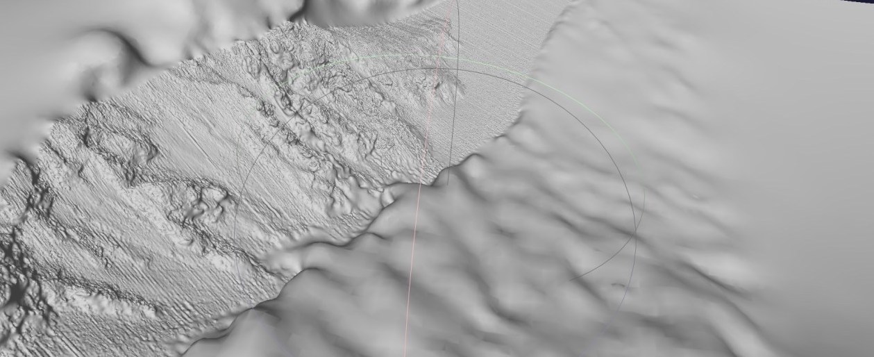
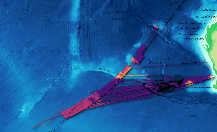
An open source point cloud infrastructure part 2: oceans AdamJanuary 7, 2019August 30, 2020Bathymetry, Cartography, data services, data wrangling, entwine, infrastructure, Lidar and bathymetry, open data, PDAL, QGIS
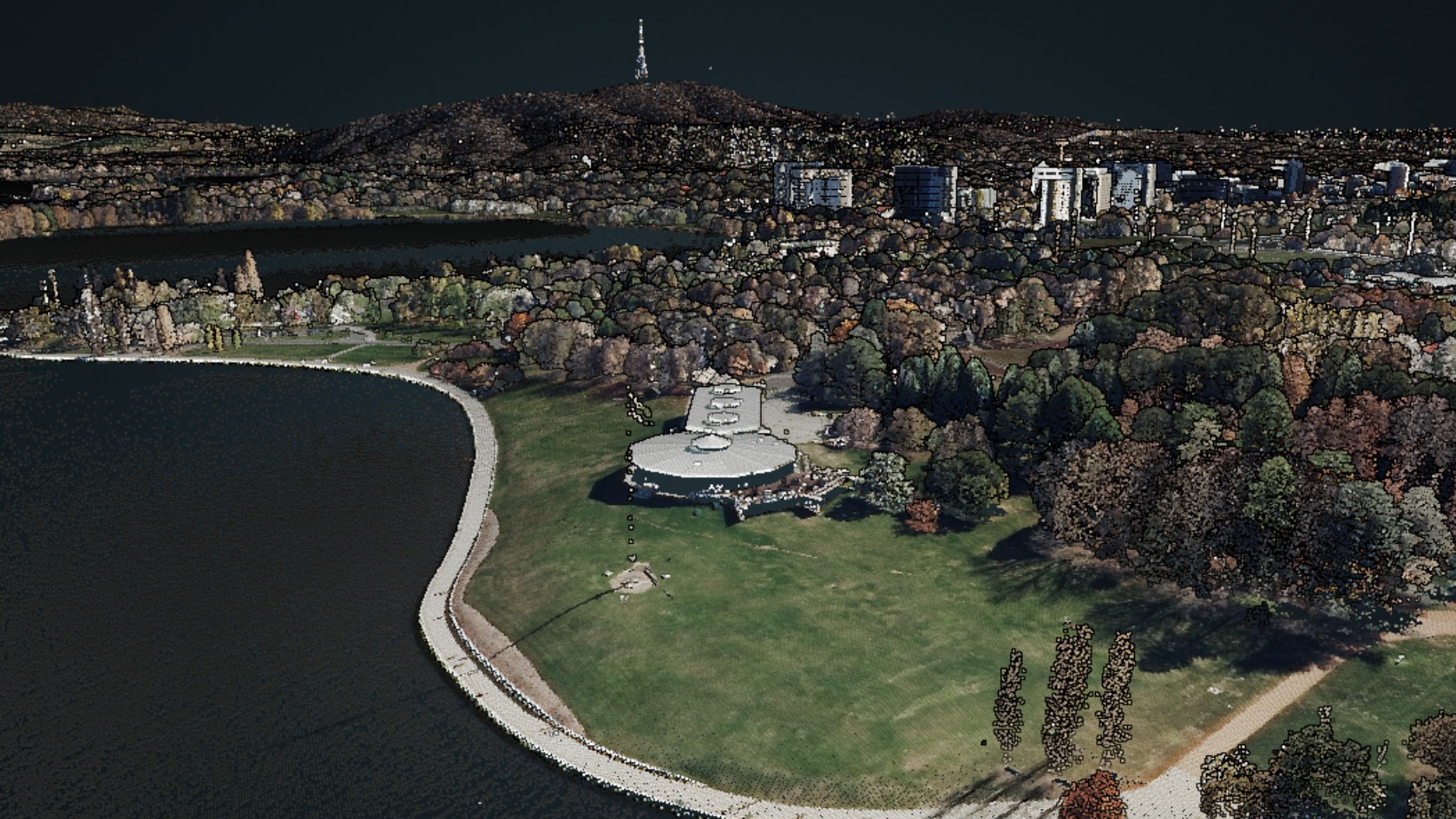
An open source point cloud data infrastructure: introduction, and land. AdamDecember 27, 2018July 9, 2020data mining, data services, entwine, infrastructure, Lidar, Lidar and bathymetry, open data, PDAL, Potree
Open AgTech – a prelude AdamNovember 1, 2018January 27, 2024data collection, data services, data wrangling, open systems, philosophy, Strategy, culture, advice