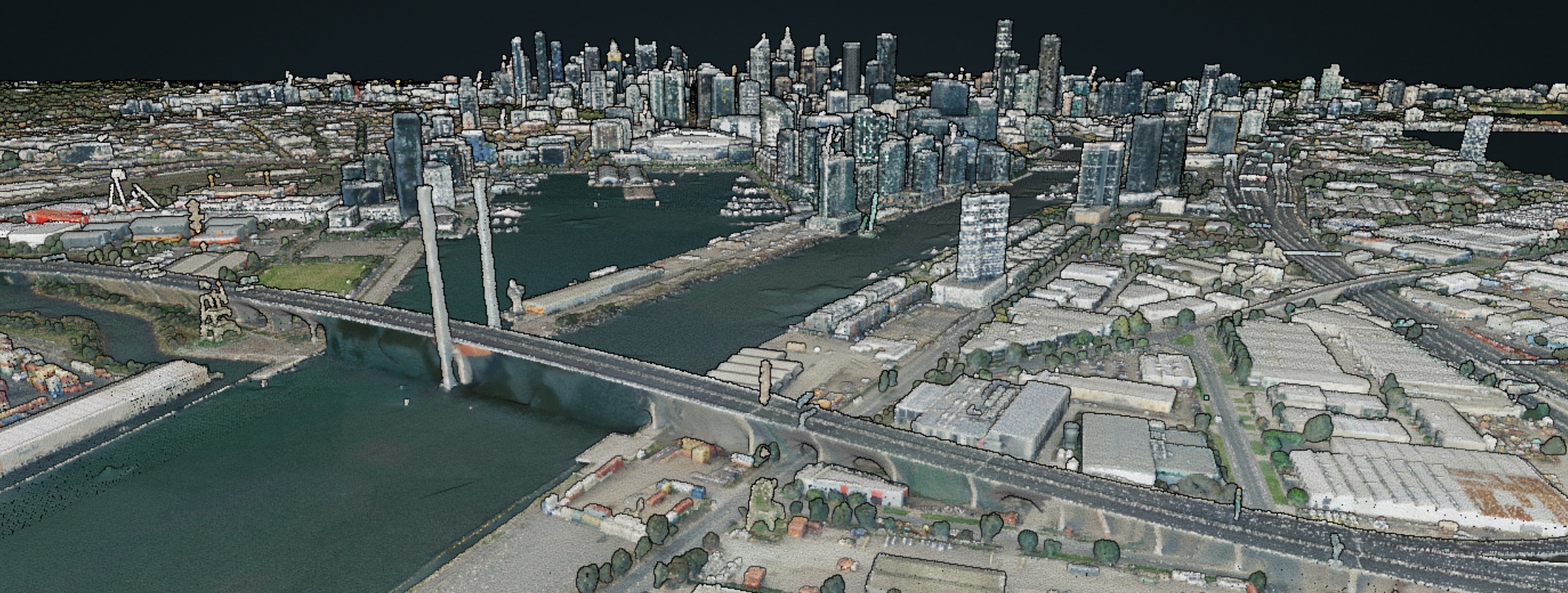
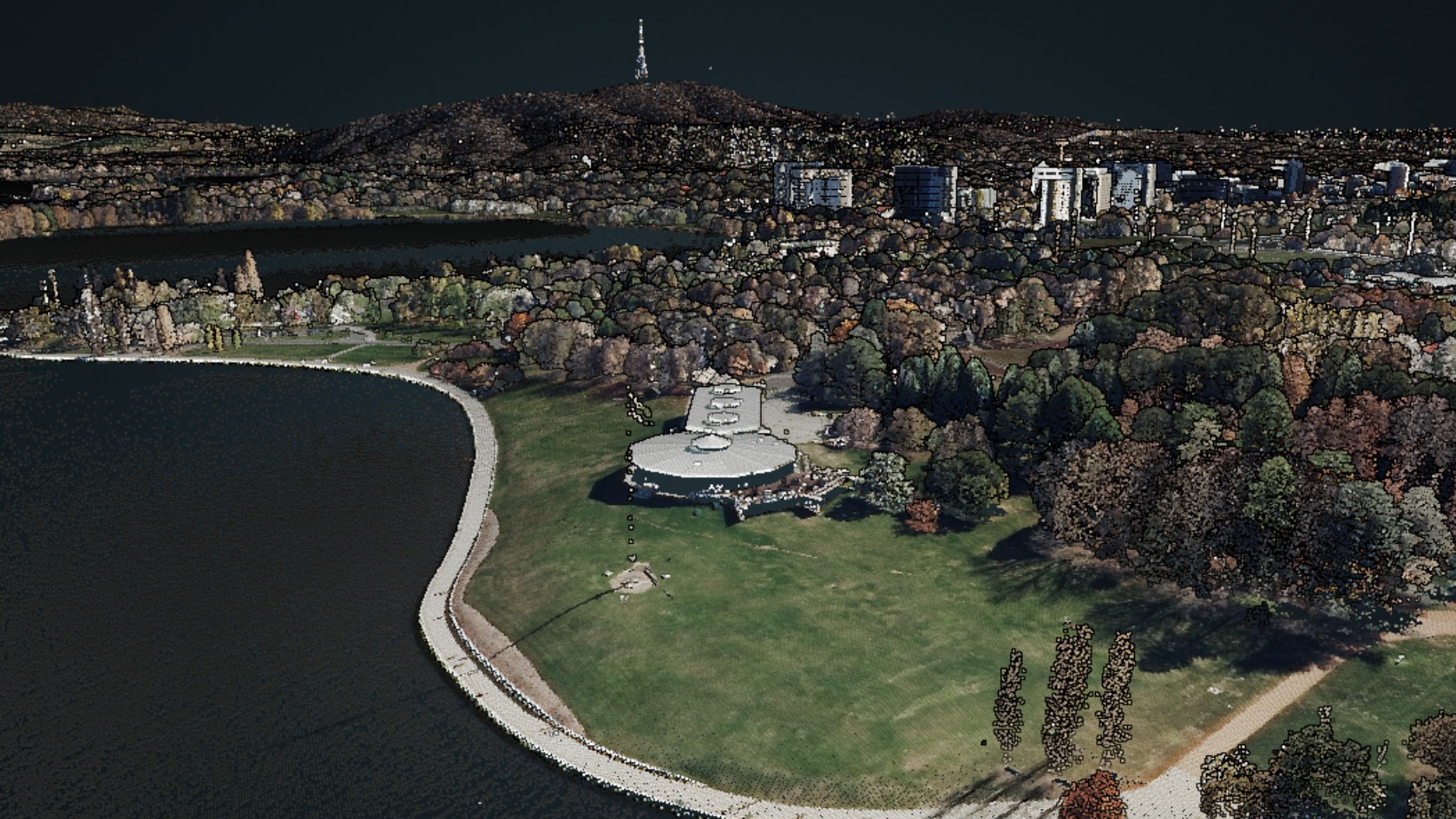
10 000 square kilometres AdamMay 7, 2020February 6, 2024data services, data wrangling, entwine, infrastructure, Lidar, Lidar and bathymetry, open data, OSGeo, PDAL, philosophy, Potree, Research, training, visualisation
A method for offline entwine EPT viewing AdamMarch 28, 2019March 30, 2019entwine, Lidar and bathymetry, Potree, visualisation
An open source point cloud data infrastructure: introduction, and land. AdamDecember 27, 2018July 9, 2020data mining, data services, entwine, infrastructure, Lidar, Lidar and bathymetry, open data, PDAL, Potree