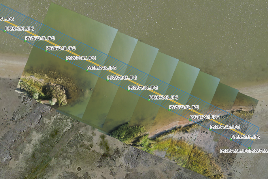
Image transects for ecological assessment AdamMarch 6, 2024March 8, 2024Aerial photography, ANAFI, data collection, Drone projects, fieldwork, QGIS
Open for business AdamFebruary 26, 2023February 4, 2024Aerial photography, Art and design, community, data collection, data services, data wrangling, fieldwork, good data, illustration, News, open data, open systems, QGIS, Research, training, visualisation
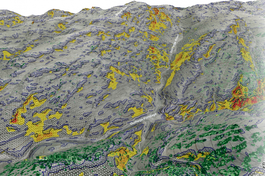
Artisanal geoconsulting AdamSeptember 6, 2020February 4, 2024Aerial photography, Cartography, data collection, data wrangling, field survey, fieldwork, News, Photogrammetry, Research, Tiny planets, training, visualisation
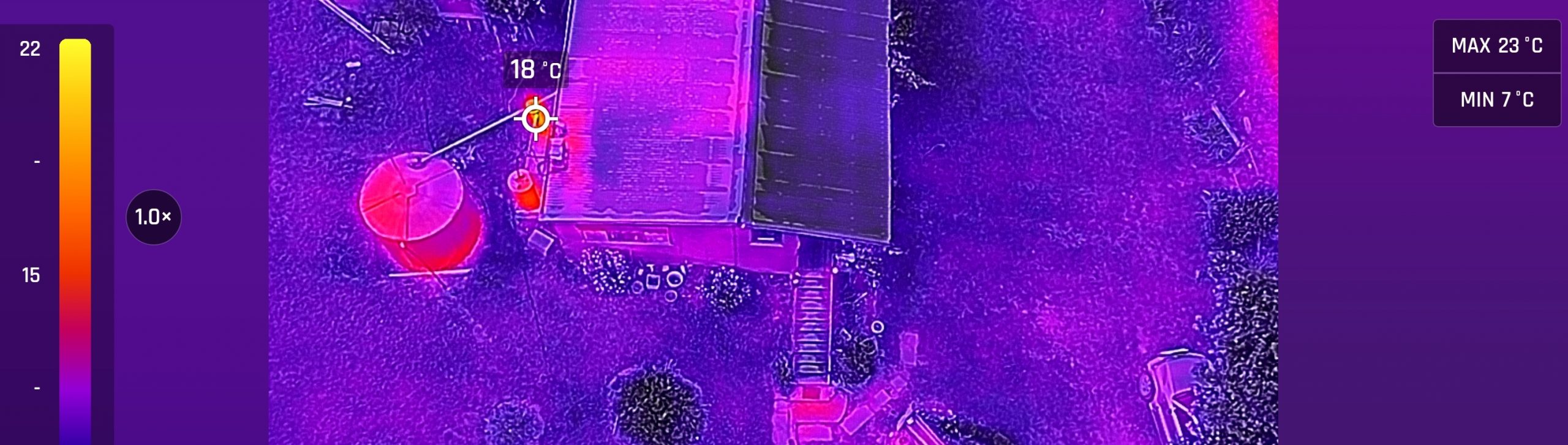
Introducing the ANAFI thermal AdamJanuary 24, 2020October 5, 2023ANAFI, Cartography, data collection, data wrangling, Drone projects, field survey, fieldwork, Lidar and bathymetry, Photogrammetry, QGIS, visualisation
Drifting sea ice and 3D photogrammetry AdamMarch 3, 2017March 4, 2017Antarctic, DTM, field survey, fieldwork, Photogrammetry, Sea ice