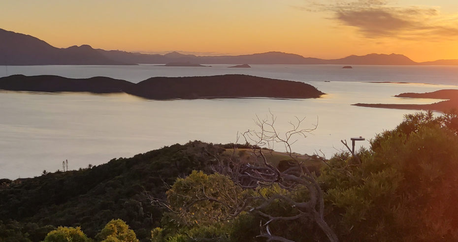
The Oceania Geospatial Symposium 2022 AdamDecember 11, 2022January 29, 2024community, OSGeo, philosophy, Strategy, culture, advice
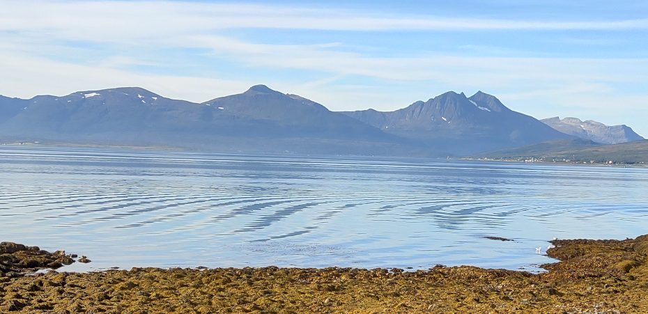
FOSS4G 2022, Tromsø edition AdamAugust 28, 2022January 27, 2024foss4g, OSGeo, Strategy, culture, advice
10 000 square kilometres AdamMay 7, 2020February 6, 2024data services, data wrangling, entwine, infrastructure, Lidar, Lidar and bathymetry, open data, OSGeo, PDAL, philosophy, Potree, Research, training, visualisation
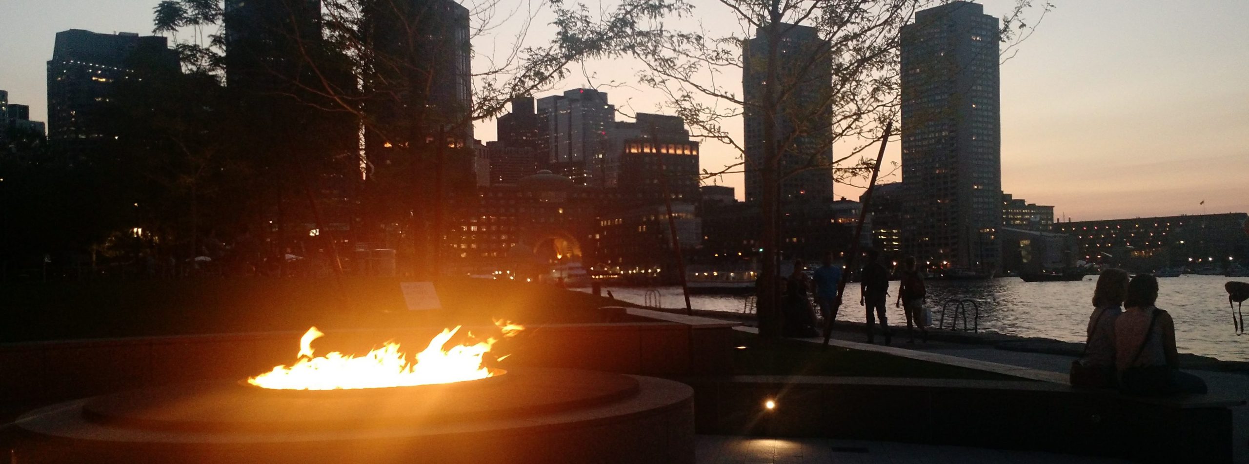
Sponsoring FOSS4G SotM Oceania AdamOctober 29, 2019January 27, 2024foss4g, OSGeo, philosophy, Strategy, culture, advice
FOSS4G SotM Oceania 2018 AdamDecember 15, 2018January 27, 2024foss4g, OSGeo, philosophy, Strategy, culture, advice
16 bit to 8 bit RGB colours with PDAL and Python AdamFebruary 25, 2018September 17, 2018Lidar, Lidar and bathymetry, OSGeo, PDAL
A geospatial tinkerer’s feast: FOSS4G 2017 AdamSeptember 5, 2017January 27, 2024foss4g, News, OSGeo, Strategy, culture, advice