
I started writing this in Nouméa, New Caledonia. You’d be right in thinking ‘wait what? isn’t this guy normally based in Tromsø, at the other end of Earth?’ – and yes, this is true. It is a long way from home. I’m back in Tromsø now, having sat on these thoughts for a while it is time to put them out.
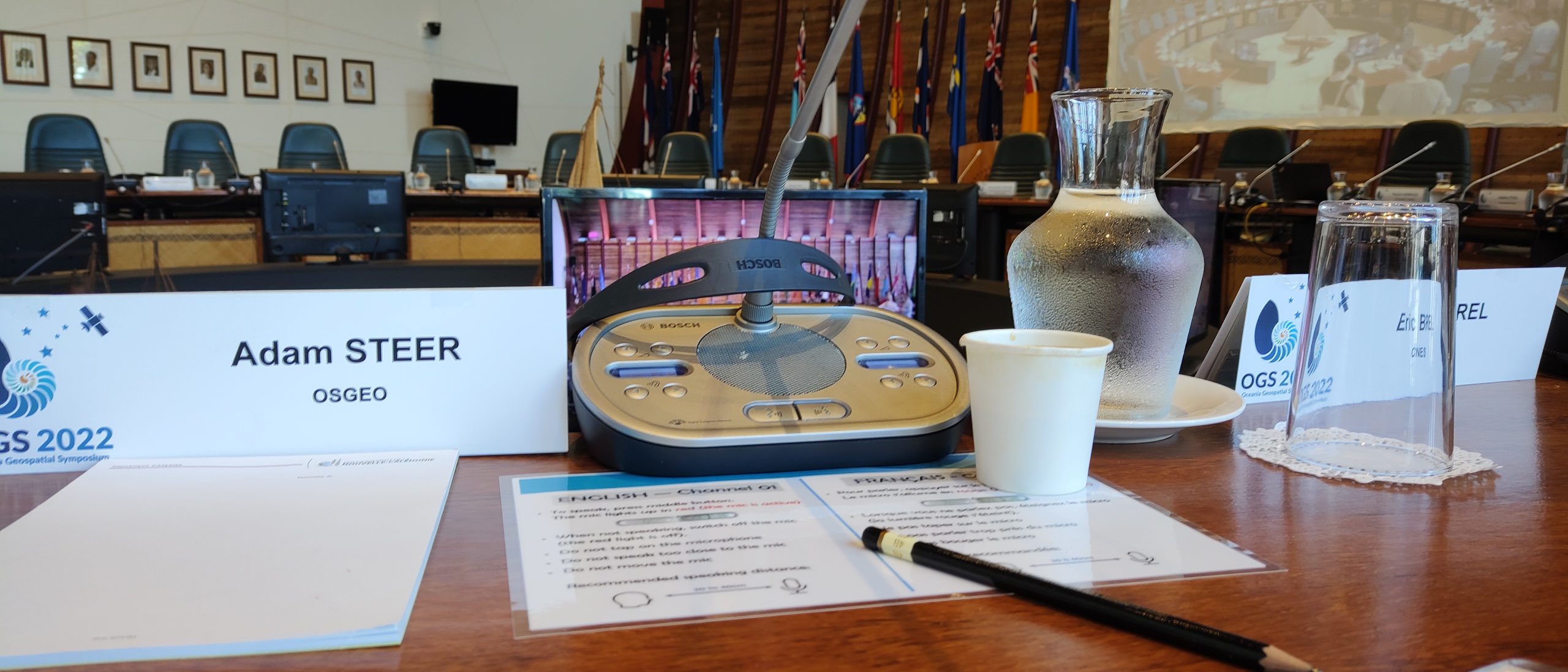
I was in Nouméa by invitiation to participate in the Oceania Geospatial Symposium – a week long event bringing a diverse audience from all around the Pacific Island countries and territories (PICTS) to focus on solving problems using geospatial technologies and data. What’s my role, as a drop in from the far frozen north? I’m a director of OSGeo, and have a deep connection in the region having grown up and lived most of my life in Australia. I also helped form the local OSGeo Oceania organisation. I was invited to talk about how OSGeo works – what we do, how we support communities around open source geospatial tools, how people in the PICTs (yes, I am going full policy now, gonna use that acronym!) can get involved in OSGeo and help shape how the community works.
You’d also be right in thinking ‘hey wait, isn’t there an OSGeo Oceania supported event, the Pacific Geospatial Conference, just across the ocean in Suva – in the same week? what are you doing not being there?’ There’s a simple and a complex answer. This is the simple one: I was invited to speak at, and contribute to, this event. And it’s kind of my job as director of OSGeo to help people who might not be familiar with OSGeo to understand what we do.
…and you have probably guessed that the complex answer is politics. Yes! Internal community politics. This might seem innapropriate to some, I think it is important to go there – it doesn’t help anybody to sweep it under the rug. OSGeo and open source communites are by no means immune to that. The reason for two events in the same week in the first place is about internal community politics. And we have two choices about that: the first is to react, become offended, say things like ‘you should not talk about X or Y at our thing because that is our territory’.
The second, the one I want to leave you with, is to respond. Take pause, consider, reflect – and say ‘well isn’t it amazing that the Pacific Island community is able to host two major geospatial conferences in the same week? Doesn’t that speak to you about the strength of the community, its richness, its power? That in this collective of 2% land and 98% ocean, local communities see that this topic – geospatial stuff – has real power to help. Both events want to hear about how open source geospatial things work. This speaks about a vision for taking opportunities which can help create locally-focussed systems for Pacific islands, by Pacific islanders.
That out of the way, I want to talk about the event itself.

A new way to do a geospatial conference
I was intrigued about this event and how it is organised – it didn’t look like a typical geospatial conference at all, and it wasn’t. The vision of the organising team was ambitious – to bring all the political and technical players to the table, and spend a week coming up with calls to action. Ways to move forward, to tie this community together around something.
So often we hear “we should keep politics out of it“. From my view it is already too late – if we got up out of bed this morning, we already made a political decision, did a political act. So it is better if we own it, roll around in it – the politics are necessary! And I was excited about this! How often is there an event with government ministers, representatives from global intergovernmental organisations, public servants who have to implement stuff, business sector people, and technical people deep in the weeds – all at the same table? It’s something I’ve personally thought is long overdue.
I have to congratulate the organising team for pulling this together! It is no small task to get so many communities together – and I also need to thank everyone who attended, gave their presence, and engaged with the concept. I would love to see it happen again.
What I didn’t understand at the start was my role there. I found myself front and center in the talking circle, as a representative of OSGeo, a global NGO dedicated to supporting open source geospatial communities. This was pretty new, to be all name tagged up and front /center. I can only hope I represented the community well, with the right mixture of humility and audacity. Being an invited speaker / guest / representative, I was extremely aware of my privilege, and the impact of my words / actions. I hope I never lose this feeling of being pretty much overwhelmed. It’s a big reponsibility.
What happened there?
The best start is to read the program. Once you’ve done that the next paragraph or so will make more sense. The first day was an official welcome, Coutume – a way to welcome us all to Nouméa in a traditional Kanak ceremony. I’ve never travelled to the Pacific Islands and Territories before, this was my first insight into the culture, how things would work out for the rest of the week. Taking pause, time to gather oneself before speaking, seemed embedded in the local way, something we in fast paced Australia and Europe could learn from.
…and then we got to work! The first day continued with a full program of discussion among all the groups present – prepared talks on Pacific Island issues, the roles of various participating organisations, other talks aimed at opening up geospatial ideas for decision makers, trying to bridge all the various groups there. And if you’re in the front row look out – prepared or not you might be called on to talk (I was! It was nerve wracking!). This was rounded out with a social event and traditional dance show in the wonderful grounds of the SPC (Pacific Community) campus.
Day 2 – workshops. All day. Sit with a bunch of people and come up with priority issues that need all the parties – political, technical, social – to work on together. For me, this was a real privilege to attend and learn so much about how things work in the Pacific Islands and Territories, who is who, how decisions are made, what the issues are from a Pacific perspective. I started to settle into a role that worked – sit back, listen, learn, and try to understand where I could ask small questions that people had so far missed – try to respectfully make use of my different / outside perspective.
Day 3 – technical talks. This is familiar territory for geospatial people, hearing about the tools of the trade. It’s important also that a lot of decision makers were still in the room here.
Day 4 – a rare parallel session! Technical talks on one side, and a ‘decision makers’ track on the other. I went to the second option – being curious to learn about the political background, how things work in the PICTs. It was a great choice! We spent time sitting on a mat discussing topics raised in the workshop, and broader issues. Problems faced in the Pacific, and how to draw on the resources of a globe, connected by the ocean, to help. This was challenging, educational, important. Yes, we sat around and talked. Action? well, that comes later. The first step, the sharing of perspectives, is how we lay foundations to do actions in the right way later. It felt like an important and often overlooked process.
Day 5 – a day of broader, mixed technical / community oriented talks – and a busy one for me, co-convening two sessions and delivring my own talk – OSGeo: a global community for open source geospatial.
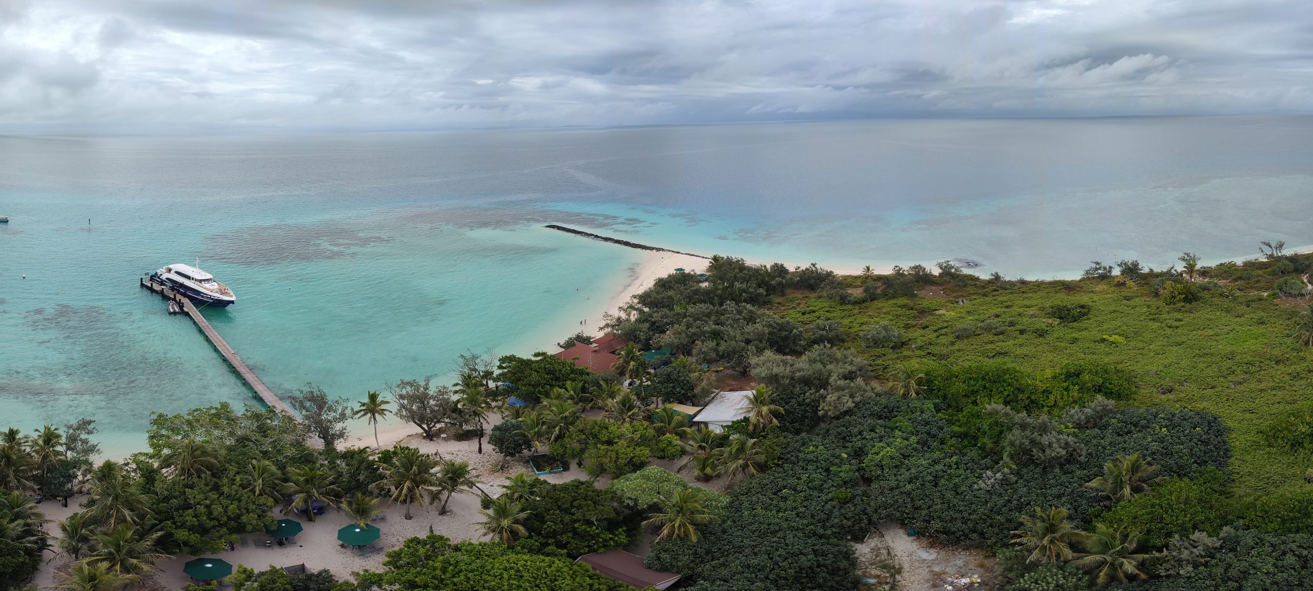
Day 6 – whaaaat? 6 days straight? This was community day. We all hopped on a boat and went to a tiny and amazing island – building connections by swimming in the sea with turtles and sharks, walking, eating. High perfomance work needs high performance rest. And this was high performance rest indeed!
Day 7 – the wrap up. A final parallel day, with technical workshops and also a workshop devoted to implementation of the priorities set in the workshops on day 2. Again, a really wonderful opportunity to listen, learn and understand. And very, very occasionally contribute from a 20 000 foot perspective.
Did it work out?
This is really a question we have to put to the Pacific community in some months’ time. How is it going? is there any follow up?
I can only relay my impressions of how things went in the event itself. On that point, I can’t see how it could have been done better at this point in time. Yes it was long, and engagement dropped over the week. The workshop on day 7 was far less full than the workshops on day 2. People faded in and out a bit according to their interest – staying more or less in their comfort zone of technical stuff or political stuff. I understand that, it takes a lot of patience to walk between the different communities and their ways of doing. In the year of 2022, as a first attempt, I think it really was needed to stuff a lot of technical talking between the socially/politically oriented work. Over time, as the technical and political communities become more closely aligned this might change. OGS 2023 or 2024 (does a conference need to be every year? it is a lot of energy!) might be a day shorter, more people will understand the work, understand that it isn’t just “turn up and give your 20 minutes”. It will also have a code of conduct!
I do have one request for everyone there: it was more than once we heard small (or long) speeches introduced with ‘well I really have nothing to say…’, which continued to be kind of space filling. Stereotypically from people who were not from the PICTs. If that sounds like you, please own your use of time – or stick to the opening sentence and open the floor to others. This is part of getting out of our lanes, breaking our patterns. It is also part of staying aware of our privilege – understaning our place in the conversation. Get used to using your time and words well, speak with ownership and impact.
To wrap up this part, personally it was a success that everyone was still standing after 7 days. Time will tell exactly how successful – and I really hope that more events like this spring up, where we have all the players at the same table trying to work out how to apply all the tools in the collective to real problems we face now!
An OSGeo perspective
I was invited because I am a director of OSGeo. A couple of things became really apparent: first, OSGeo is not incredibly well understood in the PICTs. We have some really amazing and energetic advocates in the community (thankyou!), however OSGeo the organisation is seen as remote and focussed on the ‘global north’. This is understandable! Look at how we run our calls for FOSS4G conferences: Europe, America, rest of world. It doesn’t seem that welcoming to regions which are not even named in the organisation’s consciousness (we are working on that!).
So it was really relevant to be there, to convey that OSGeo is a different kind of organisation to most – it is honest to say “who is OSGeo? all of you who are here and are interested right now”. Because that is true, it is a community open to everyone. These days, people are more used to organisations being walled gardens. This is unusual in the year of 2022. And led to an important insight I spoke about: OSGeo isn’t just a technical organisation – we provide leadership in community governance. What I hope for is that explaining this, being there, present in the islands, helps people to engage with both technical and community governance parts – and shape OSGeo into the kind of organisation that is truly a global community.
In some ways OSGeo is still walled because of company laws and good governance principles – to become a board member, or vote in elections, or get an OSGeo project approved. To participate, on the other hand is easy – just show up! The hard part there is understanding where and how. I made the analogy that OSGeo is a big animal (or very large potato), and it is hard to know where to start if you want to eat it. A good place is here: https://www.osgeo.org/community/getting-started-osgeo/
I left really encouraged that the open geospatial community in the Pacific Islands is thriving. It will be fantastic to see how OSGeo can support this as we move forward, whether it happens via local chapters or through the global network. It was also really nice that people really appreciated OSGeo taking time to be there, being around to answer questions, putting a human face on the organisation.
To sum up this part: open geospatial is in great hands in the Pacific, it was so encouraging to see.
A final word
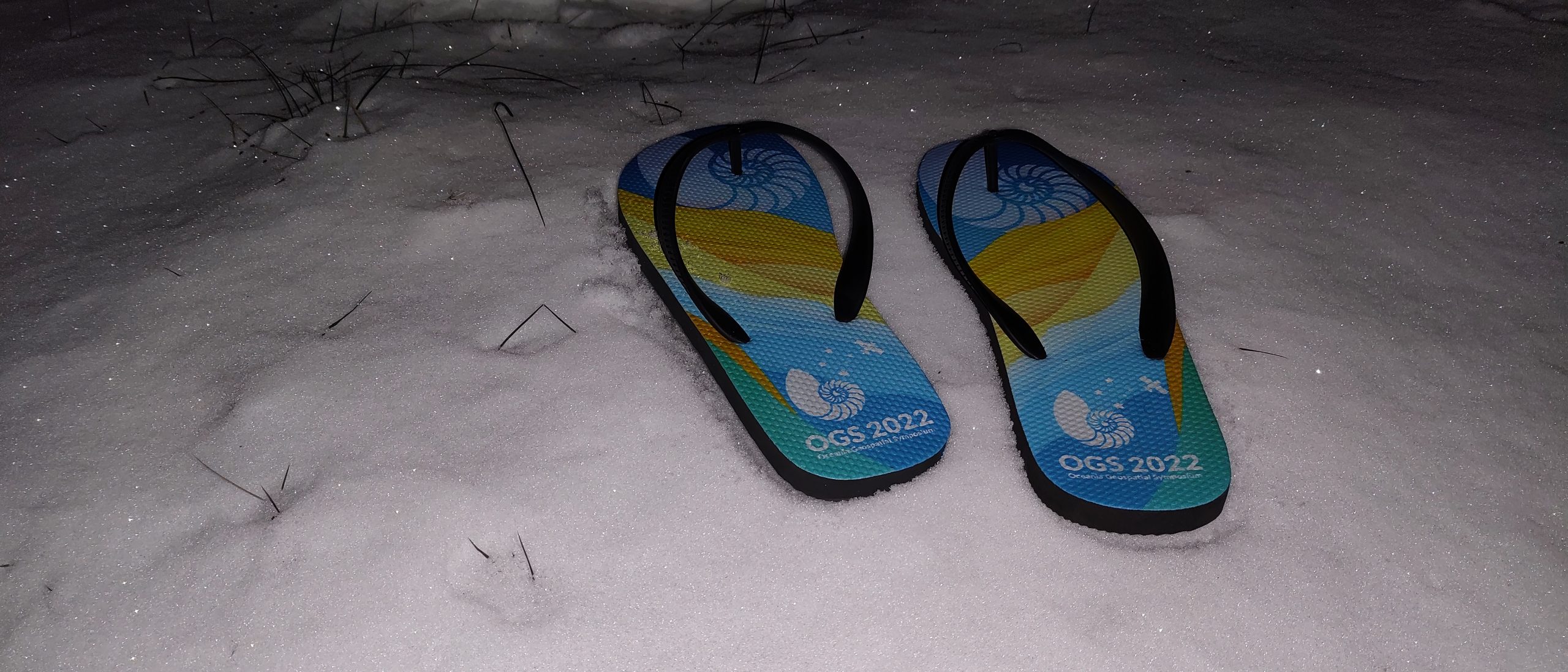
Back in Tromsø, where my flip flops are a little out of their comfort zone, this week of discovery and discussion is still trong in my mind. I would love to see more events spring up like this where a lot of the focus is on getting everyone in the room – even if it feels awkward. We need to do it. Also circular conference rooms are awesome. More of those please!
Again, a huge thankyou to the OGS organisers – in particular Jean Massenet, who reached out and made it possible to be there. I walso want to thank Emma Luke at Geoscience Australia, who helped start this whole conversation. I have to also give a lot of gratitude to the OSGeo community for trusting me to represent a huge and diverse group.
I also want to thank everybody there for their generosity and patience, helping me to understand Pacific island issues and Pacific island ways. Patiently explaining things to me over and over again, dealing with my inability to speak French, accomodating my jetlag and complete lack of acclimatisaion to the tropics!
Please note that my view here, my insights, are small and narrow. I am certain there was a lot going on that I missed. I am still grateful for the window I was offered. So the last words are: thankyou! I hope this event happens again, and I hope more events like it start to spring up.
…and a request: career hunting
I hope to delete this paragraph and section really soon – in December 2022 I’m searching for the next career. And it is getting pretty urgent! If your organisation is after a skilled strategist / facilitator / community builder who understands the technical, social and political; can communicate across cultures and languages; and is great at remote work (or coordinating work in remote regions) – reach out. If you want a reference, just ask anyone who was at the symposium. Also feel free to check out my geospatial work at this website, or read my CV / prospectus at https://iamadamsteer.com.
I’m open to ongoing contracts, or freelancing / independent consulting, or a mix of both. Whatever the arrangement, I work best when I am trusted and empowered to do my job how it works best for me. Just like you! Right now because of how the housing market works in Australia, ongoing contracts are better. For family reasons my home base needs to be in south eastern Australia. After a couple years working hard to fit into Norway my teenage boys want a place that is familiar and easy for them, and I respect that.
Thanks, and I hope to hear from you soon!