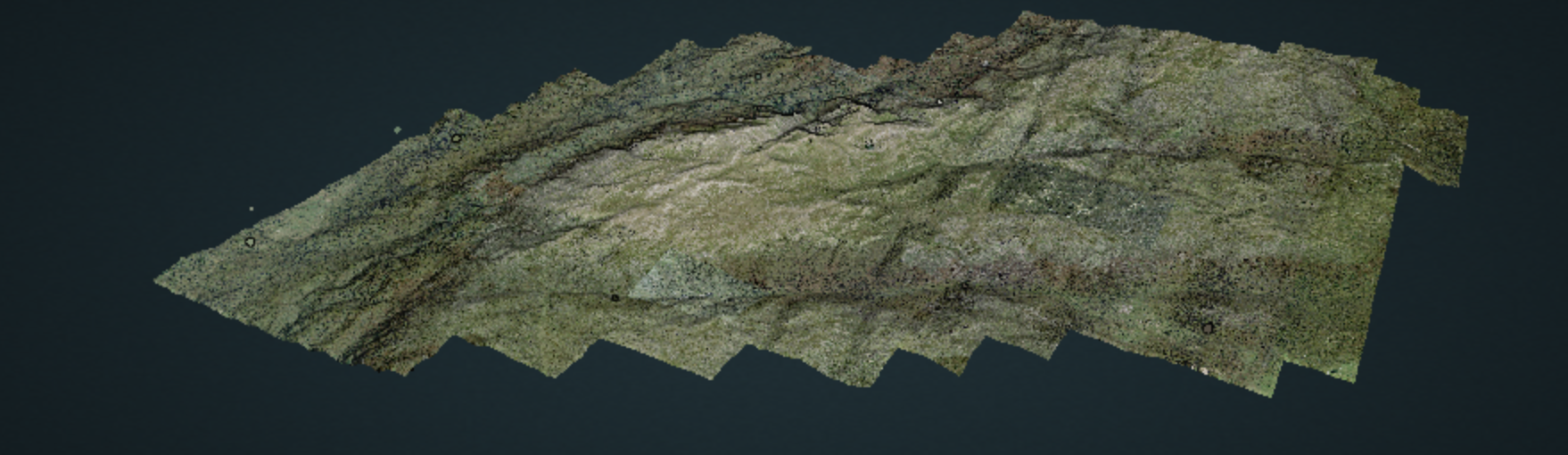
Lidar processing with PDAL, WMTS and geobash AdamMay 30, 2020January 24, 2024Aerial photography, data mining, data services, data wrangling, entwine, foss4g, GDAL, Lidar, Lidar and bathymetry, open data, PDAL
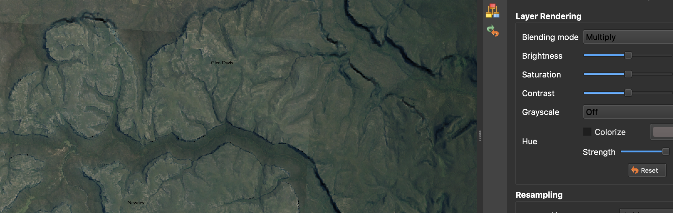
‘Painting’ terrain in QGIS AdamMarch 27, 2020May 31, 2020Cartography, data wrangling, DTM, GDAL, Lidar, open data, QGIS, visualisation
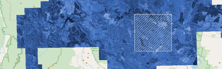
Emergency services, aerial imagery, GDAL, S3 and rapid team building AdamMarch 20, 2020January 29, 2024Aerial photography, data wrangling, foss4g, GDAL, Spatial data science