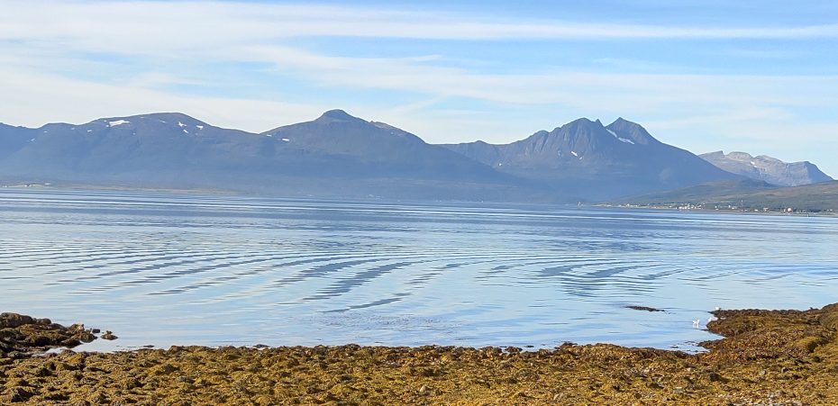
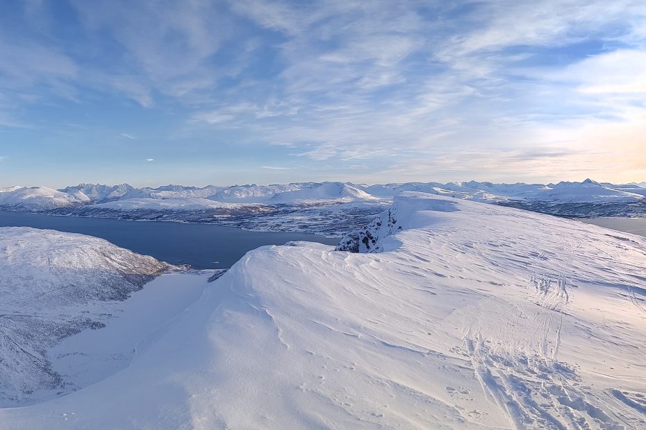
Route mapping using Strava, OpenStreetMap and QQIS AdamFebruary 4, 2024February 5, 2024Cartography, DTM, foss4g, QGIS, visualisation
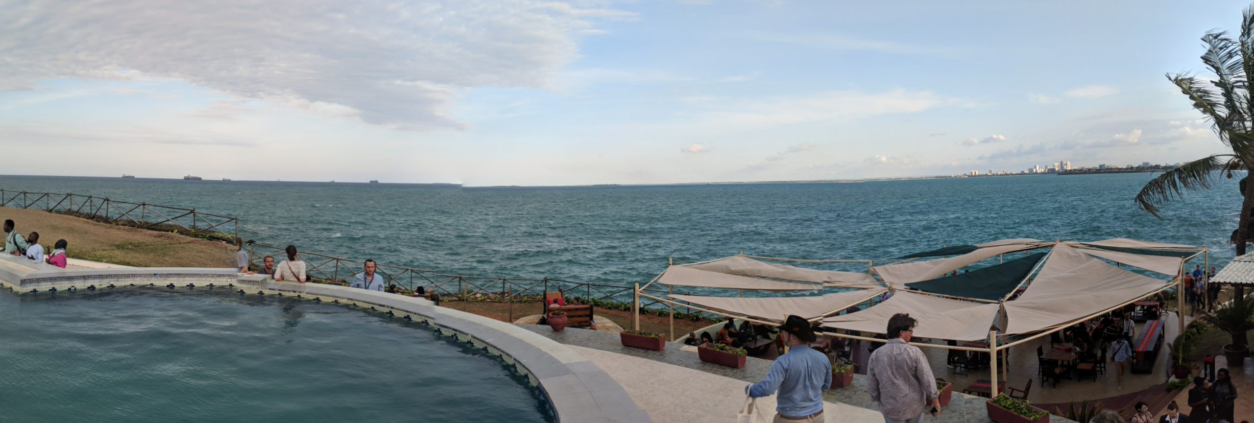
FOSS4G 2022, Tromsø edition AdamAugust 28, 2022January 27, 2024foss4g, OSGeo, Strategy, culture, advice
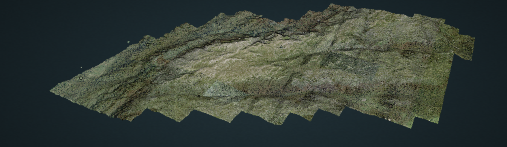
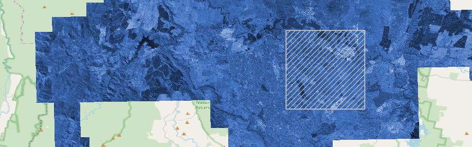
Mapping avalanche risk factors AdamApril 3, 2021February 14, 2023DTM, foss4g, Geohazards, Lidar, open data, PDAL, Research, Uncategorized
Lidar processing with PDAL, WMTS and geobash AdamMay 30, 2020January 24, 2024Aerial photography, data mining, data services, data wrangling, entwine, foss4g, GDAL, Lidar, Lidar and bathymetry, open data, PDAL
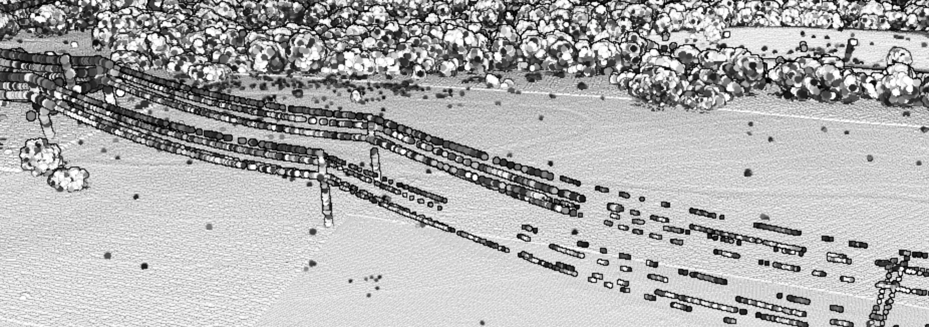
Ships, hammers, and powerlines – solving point cloud problems AdamApril 20, 2020January 29, 2024foss4g, Lidar and bathymetry, open systems, PDAL, Spatial data science
Emergency services, aerial imagery, GDAL, S3 and rapid team building AdamMarch 20, 2020January 29, 2024Aerial photography, data wrangling, foss4g, GDAL, Spatial data science
Sponsoring FOSS4G SotM Oceania AdamOctober 29, 2019January 27, 2024foss4g, OSGeo, philosophy, Strategy, culture, advice
FOSS4G SotM Oceania 2018 AdamDecember 15, 2018January 27, 2024foss4g, OSGeo, philosophy, Strategy, culture, advice
FOSS4G 2018: wait, what? AdamOctober 30, 2018February 4, 2024foss4g, Lidar, Lidar and bathymetry, PDAL, Strategy, culture, advice, training
A geospatial tinkerer’s feast: FOSS4G 2017 AdamSeptember 5, 2017January 27, 2024foss4g, News, OSGeo, Strategy, culture, advice