
Digging deep into my my own history here, I left high school full of confidence that I would become an illustrator and spend my life drawing things for science!
I didn’t make the cut for art school. And went to science instead – there’s a long story about why I didn’t just leap straight into geography (I got a psychology/neuroscience degree instead), but that can wait.
Long story short, I’ve always enjoyed the art and craft of making stuff – a couple of my header images comes from a time when I had a lot of time to kick back and draw.
Something I’ve neglected.
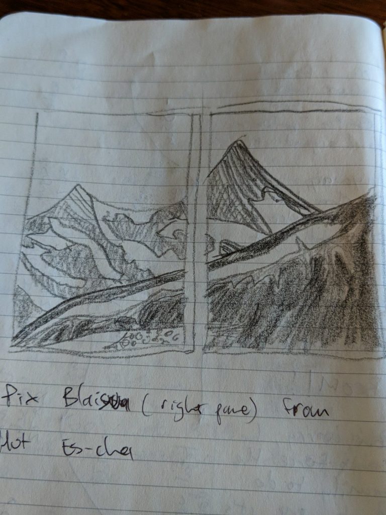
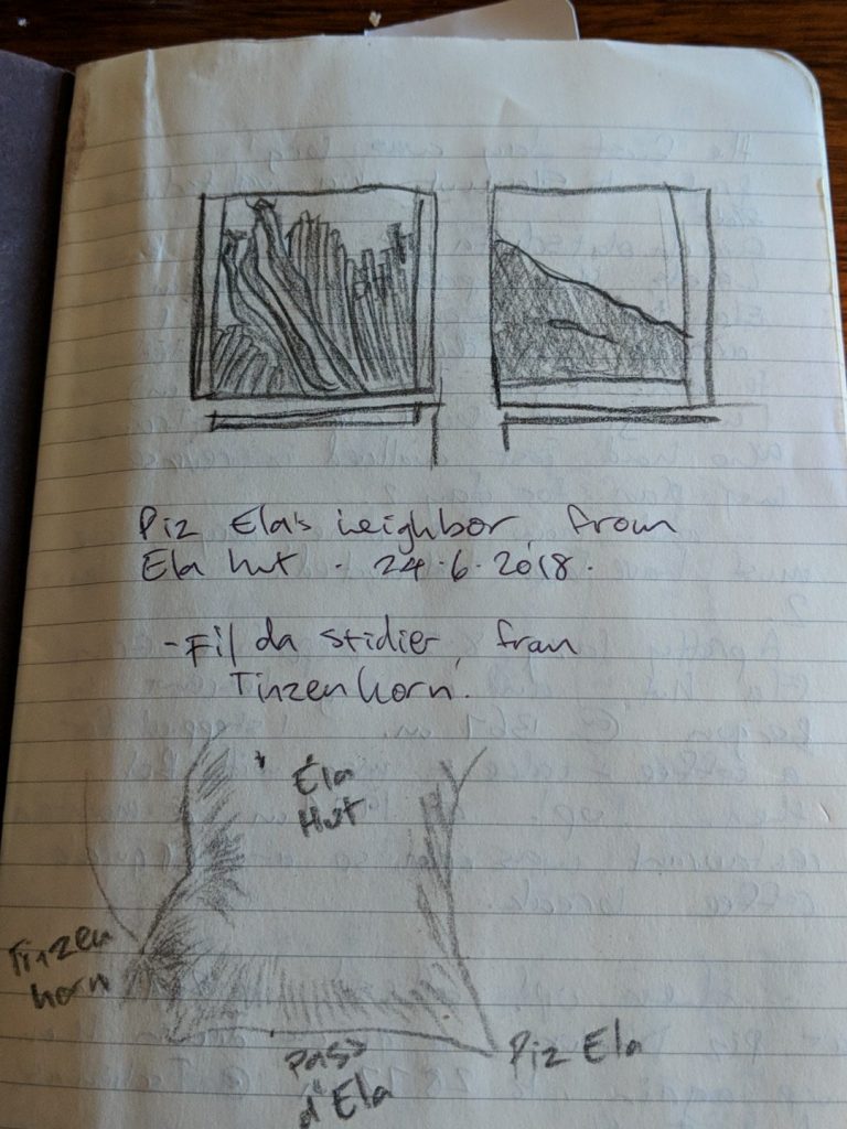
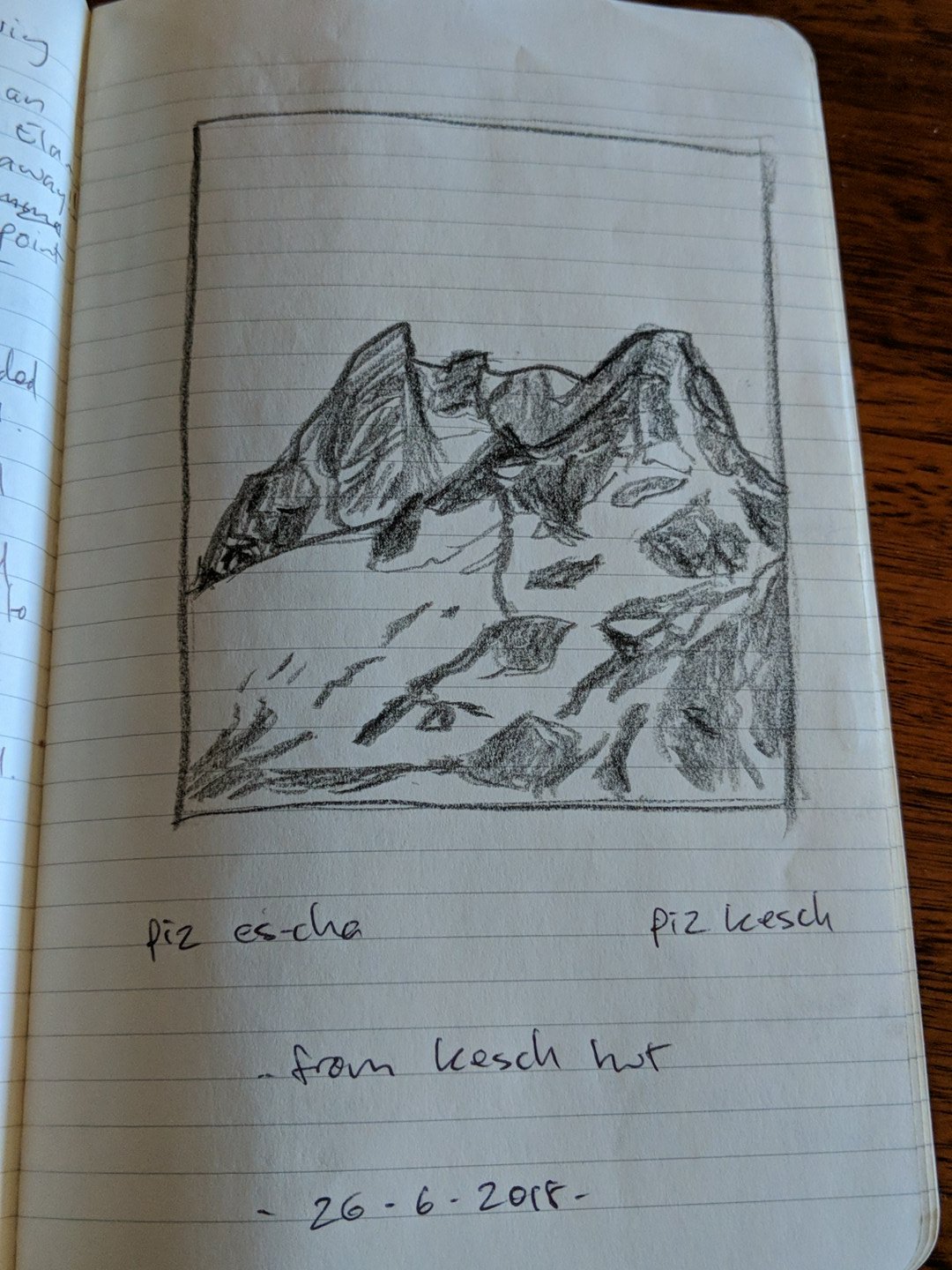
Mid 2018, I spent 4 days solo wandering in the Swiss Alps – which was breathtaking, and rekindled a flame, resulting in a few mountain sketches. These were wonderful for me – interpreting the landscape, trying to represent the salient features, what stood out for me – was an incredible way to connect. More intimate than a photograph (of which there are many), forcing a real connection with what was around me.
Coupled with that, is a new resolve to move thoughtfully, take breaks, do more of the things that make me tick, step away from the machines! So I’ve taken up the pencil more regularly, starting with some shading exercises (oh man, I remember these… sooo many light and shadow exercises in my past)


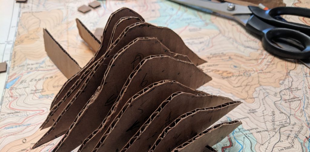
…and more recently, venturing into more cartocrafting with … cardboard! Creating Tanaka contours of a mythical island, and reconstructing a mountain with vertical slices, making this post’s feature image so far.


I’ve been inspired by the work of Petrichor Geoviz; and being a ski bunny, James Neihues. Also, everyone here: https://www.climbing.com/people/8-climbing-artists-you-should-know/. There are so many amazing people making fantastic maps and art!
So, in 2019 – as well as showing how we can crack massive point cloud problems and creating digital maps of the processes behind it all, I’ll be stepping away to create manual maps and balance rocks as often as I can. See you out there, sketchbook in hand…